
Stormwater Overview

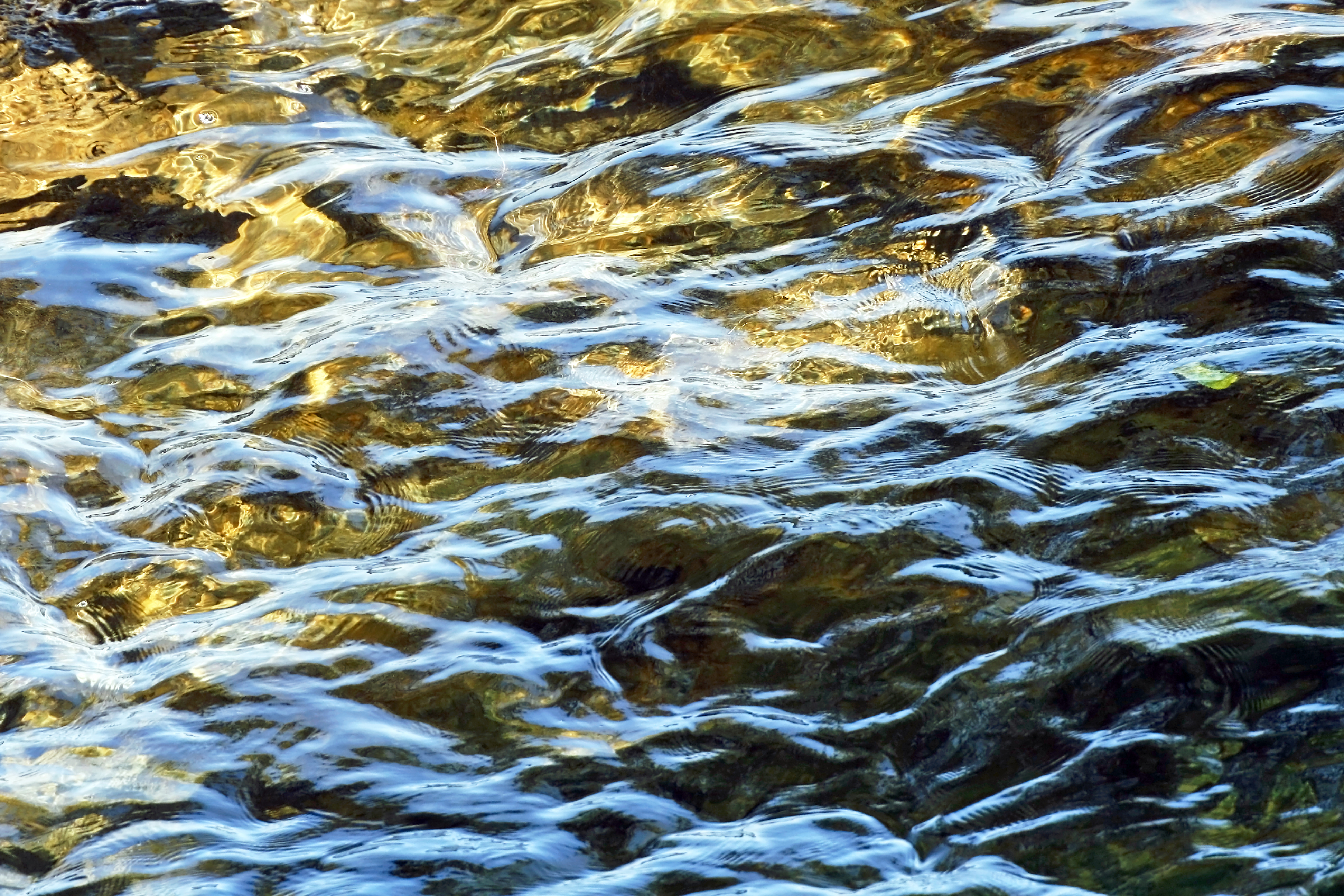
Water that enters our stormdrains flows directly into nearby streams, creeks, rivers and other waterways. This water is NOT treated before it reaches our waterways. We can all help keep our waterways clean by preventing pollution from running into our stormdrains. The Columbia Water Stormwater Management Team partners with City staff, local businesses, City residents, and visitors to keep our waterways clean!

Columbia is made up of several watersheds, areas of land that drain to the same water body. Residents can help keep our waterways clean by learning more about the watershed you live in and becoming involved in your local watershed organizations.

The Stormwater Management Team has real-time monitoring on all of the major streams running through the City of Columbia to track water quality. These data sondes check water temperature, water level, dissolved oxygen, turbidity, pH, and specific conductivity.  You can view monthly reports from each watershed on our Stormwater Monitoring page.

Broad River Watershed

Smith Branch Watershed Plan – May 20, 2016
Smith Branch Watershed Plan Addendum

This watershed includes the Broad River, Smith’s Branch, Crane Creek and Nicholas Creek. 

Congaree Watershed

Rocky Branch Watershed Plan – May 20, 2016
Rocky Branch Watershed Plan Addendum

This watershed includes Rocky Branch, the Congaree River, and Reeder Mill Branch. Organizations involved in protecting portions of this watershed include:

The Congaree Riverkeeper

Gills Creek Watershed

Gills Creek Watershed Management Plan – August 5, 2020
Special Protection Area – Gills Creek Watershed – March 2, 2018

This watershed includes Gills Creek, Penn Branch, Wildcat Creek, and Kilbourne Creek. The Gills Creek Watershed Association works to protect and restore the creeks and streams in the Gills Creek Watershed.

Lower Saluda Watershed

This watershed includes the Saluda River, Stoops Creek, and Kinley Creek. Columbia Water partners with the Midlands River Coalition in a monitoring program for this watershed. You can check pollution levels before you hit the river by visiting the How’s My SC River website.